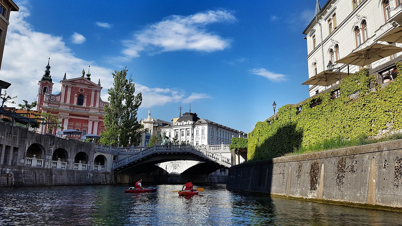
Staying in Slovenia’s vibrant capital but yearning for Croatia’s most famous waterfalls? Plitvice Lakes National Park sits just a few hours south of Ljubljana. This article spells out the distance, average drive time, best road choices, and practical tips so you can plan with ease.
Ljubljana – Plitvice Lakes Distance & Drive Time
Plitvice Lakes lies roughly 230 km (≈145 mi) from Ljubljana. Under normal conditions the journey takes about 2 ¾–3 hours by car.
Recommended Driving Routes
Fastest (Toll) Route
A2/E70 Motorway → Bregana–Obrežje border → Zagreb bypass → A1 → Karlovac → D1 to Plitvice.
Smooth, entirely on divided highways until Karlovac; expect motorway tolls in Croatia and remember Slovenia’s e-vignette.
Scenic (Mostly Toll-Free) Route
Leave Ljubljana on E61/D 1 toward Kočevje, cross into Croatia near Delnice, then follow local roads through Ogulin and Slunj to the park.
More rural vistas and villages; add at least 40 minutes to your schedule.
On-the-Road Advice
- Border formalities – Both countries are now in the Schengen Area, so you’ll usually drive straight through; still, carry a valid ID.
- Slovenian vignette & Croatian tolls – Buy Slovenia’s electronic vignette before entering the A2, and consider Croatia’s ENC tag for faster, slightly cheaper toll lane access.
- Rest & fuel – Service plazas such as Starine (Slovenia) and Zir (Croatia) offer fuel, cafés, and spotless restrooms roughly every 40 km.
- Parking at Plitvice – Large paid lots at Entrances 1 and 2 almost always have space; keep the ticket to pay at the machines before exiting.
Whether you blast down the A2/A1 or meander along quieter backroads, Ljubljana to Plitvice is an easy cross-border hop—rewarded by emerald pools, limestone terraces, and roaring cascades you’ll never forget.